Fairbanks, AK
to
Detroit, MI
3,850 miles by Highway
October 3-9, 1999, my parents drove the Alaska Highway (Alcan) (map) and remaining road system from Fairbanks to Detroit. They covered the 3,850 miles at a fairly good clip (for retired folks) and took some good pictures along the way.
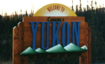
Our first picture is welcoming us to the Canadian Yukon, Territory. The famed region of the gold rushes of yester year.
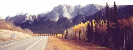
Here is a picture of Bald Mountain, about an hour south of Whitehorse.
Below is an impressive bull moose, probably tired from the Autumn "Rut" and roaming around, trying to rebuild his strength for the long winter ahead.

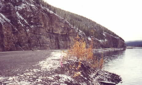
Now for a glimpse of late fall/early winter at Muncho Lake. This rock wall is a nice setting for a light dusting of snow and some yellow leaves....
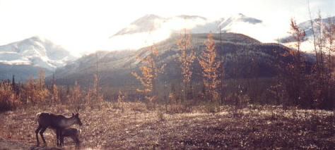
Baby animals always seem to attract the attention of us humans...here a young caribou gets the attention of "mom" just in time for lunch.
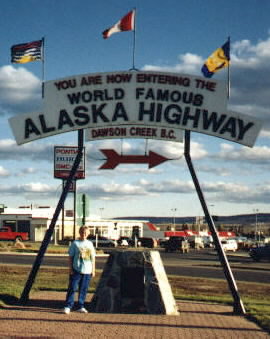
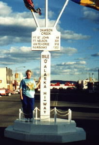
Dawson Creek, British Columbia, Canada, marks mile 0 of the 1500 mile Al-Can highway. Although there is alot to see along the road, don't forget just how long of a drive it is!
The sunsets near Battleford, Saskatchewan.

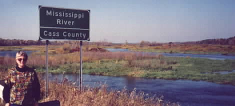
Mom poses with the road sign at the head-waters of the mighty Mississippi!
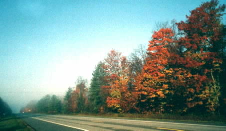
Welcome to Michigan. Here is an early morning picture of the fall folliage and fog taken on the Upper Peninsula.
Check out the trip home during the last week of October!
For you history buffs, check out this one page summary of the building of the Alaska Highway.
Planning a trip along the Alaska Highway? Check out current weather conditions along the Al-Can and throughout Canada from Weather Underground.
More Alaska Pictures
